
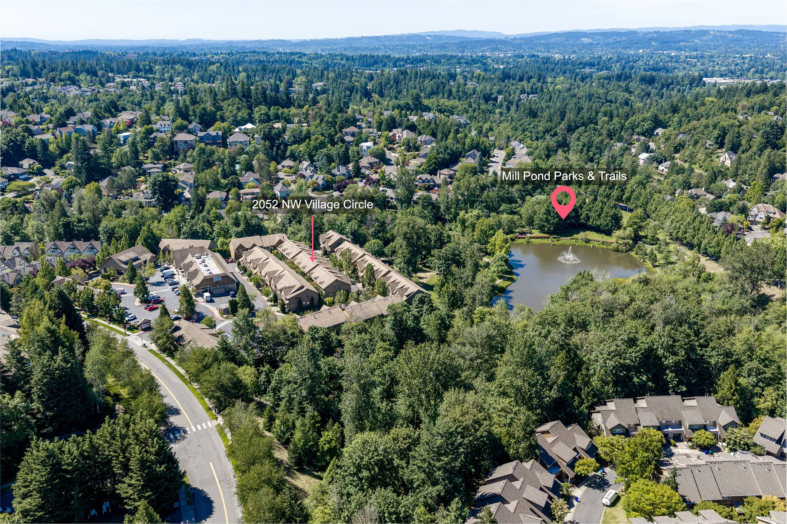
Site and Location Overlays for Portland Listings: When Aerial Context Helps
Late September changes the view from above. Maples start to turn along Portland streets, the first rain darkens the pavement, and an aerial frame can show a property's relationship to its lot more clearly than a ground-level photograph ever could.
That is where a site and location overlay can help. It adds approximate parcel lines or selected location markers to one aerial image so the viewer can understand what belongs to the property and what sits nearby. The useful question is not whether every listing should have one. It is whether a labeled aerial answers an important question faster and more clearly than the rest of the media plan.