
Portland Acreage Real Estate Photography: When a Wider Media Plan Makes Sense
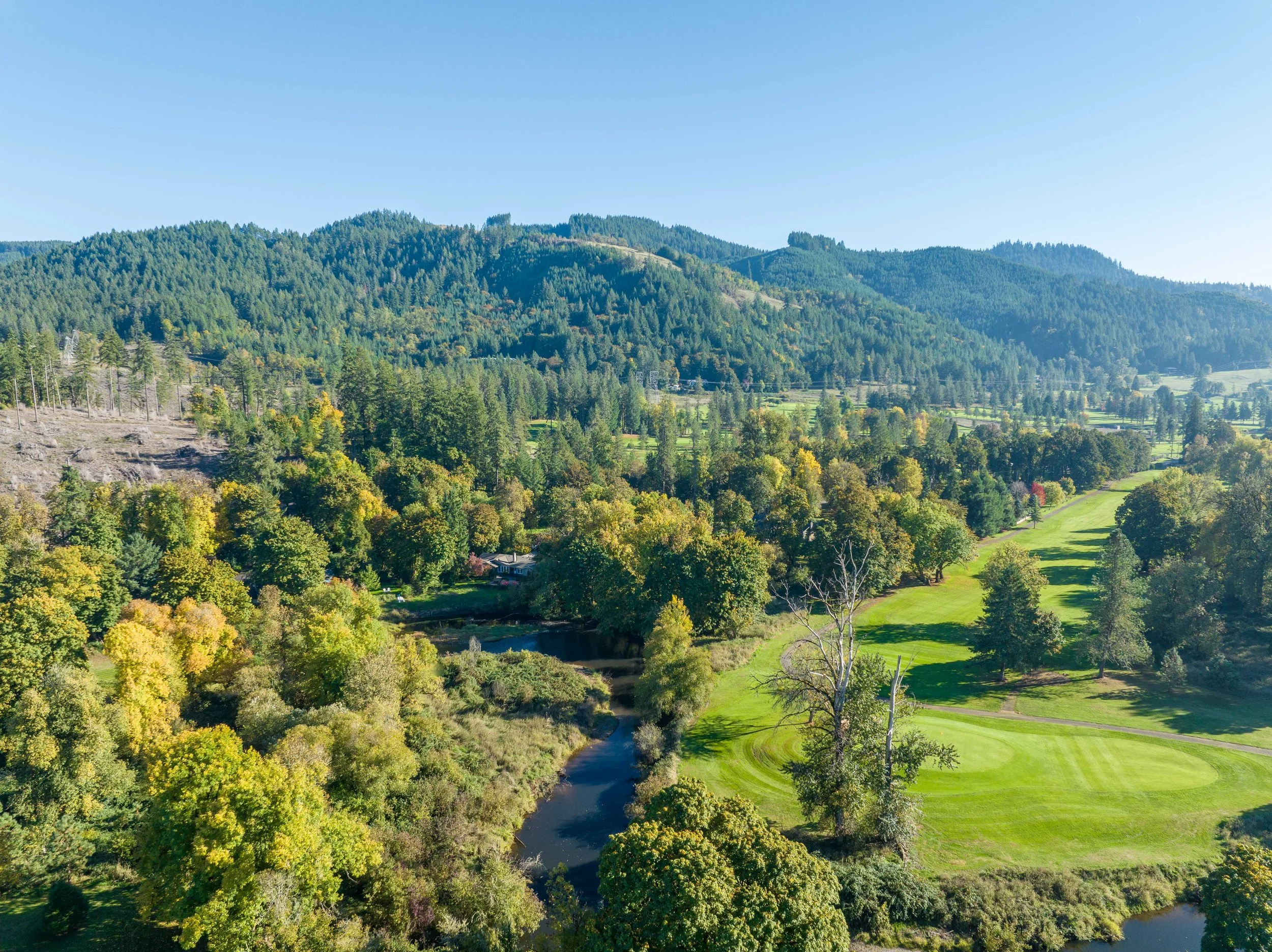
By late August, the edge of the Portland metro turns gold. Past Hillsboro, Wilsonville, and the roads toward Sandy, dry grass borders long drives while firs hold their deep green. A home may sit back from the road, with a shop beyond the trees, a barn below the slope, and land that cannot be understood from the front porch.
That is where a standard interior-and-exterior gallery needs a wider plan. Acreage real estate photography is not about making a property look larger. It gives buyers context for the land, buildings, access, and the relationships between them. Here is when broader coverage earns its place—and when a focused approach is enough.
What Acreage Real Estate Photography Actually Does
Acreage coverage connects the ground-level story to the larger setting. Professional photography carries the interiors, architecture, outdoor living areas, and details. Aerial drone photography shows how the home sits within the property, where the drive enters, how the grounds open around the buildings, and what lies beyond the immediate yard.
For properties with several structures or distinct zones, the plan may also include Extended Acreage Coverage, Additional Building Coverage, a Premium 2D Floor Plan, a Zillow 3D Tour or Matterport tour, and a Site & Location Overlay. Photography shows character. Aerials show context. Floor plans and 3D tours explain interiors. Overlays identify approximate parcel-based lines and selected nearby points on an aerial image.
Approximate is important. Public GIS layers are useful visual references, but local agencies caution that mapped tax-lot lines are not legal surveys. We treat an overlay as marketing context, not a boundary determination. It should orient a buyer without asking the image to do a surveyor’s job.
When a Wider Media Plan Is Worth It
1. The land is part of the property’s daily experience
Some acreage is simply space around a home. Other acreage shapes how the property is used: a long approach through trees, pasture beyond the house, a garden near the kitchen, or open ground framing a Mount Hood view. When the land is part of the experience, aerial stills and expanded ground coverage can connect the entrance, home, outdoor areas, and setting without reducing the property to one overhead view.
2. Multiple buildings need a clear order
A detached garage, guest house, barn, studio, or workshop can add flexibility, but the gallery has to make clear which building is which. We start with the primary home, then give each important structure a short visual sequence. Additional Building Coverage provides dedicated interior and exterior photography while keeping color, light, and composition consistent with the main gallery.
3. Access and terrain are difficult to explain from eye level
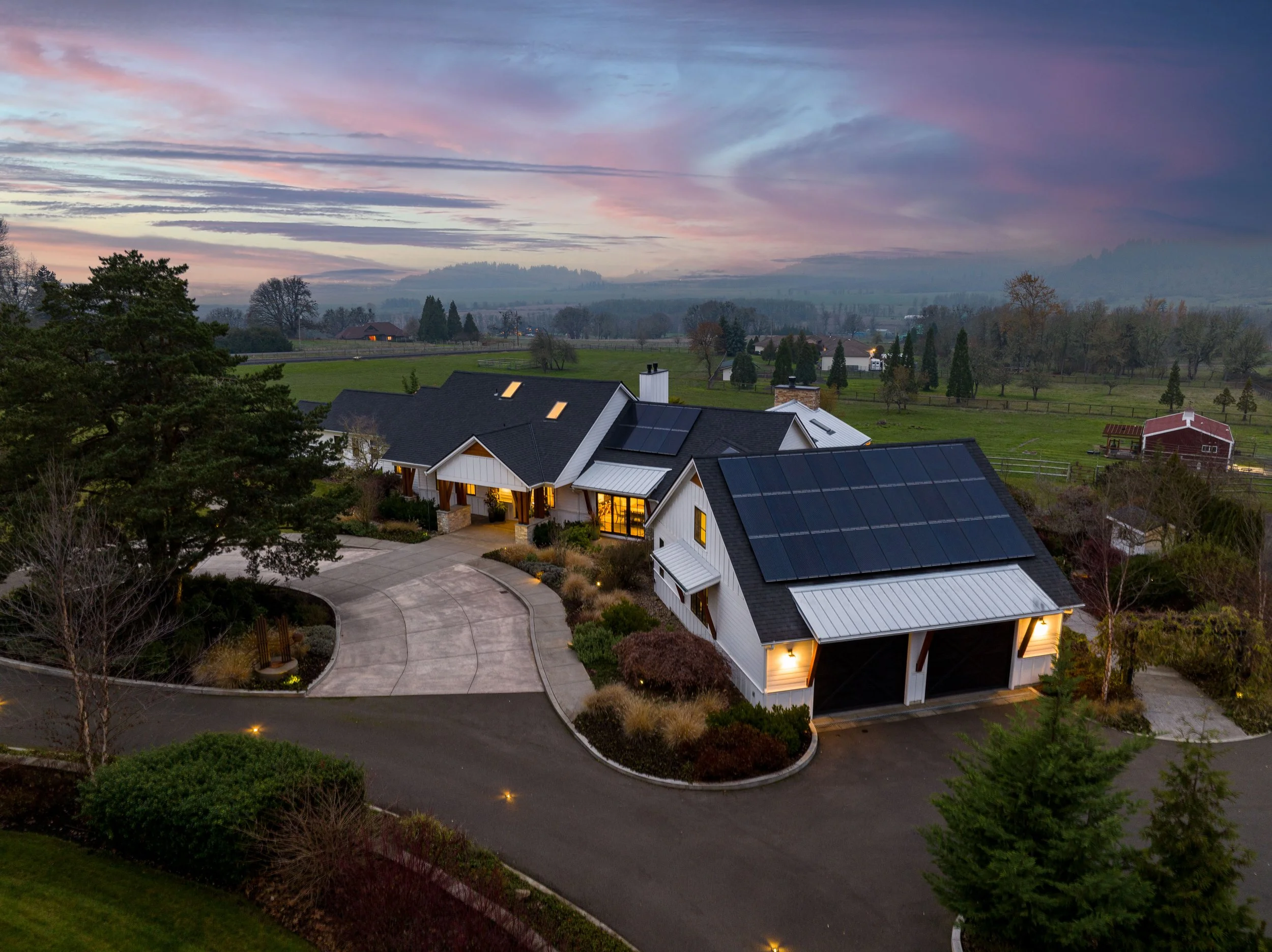
A curving drive, gated entrance, sloped site, creek crossing, or second access point may be obvious on site and nearly invisible in conventional photos. An aerial frame can show those relationships in one view. Extended Acreage Coverage adds flight passes and ground perspectives for access, terrain, and the broader layout instead of treating the home as the only subject.
Commercial real estate drone work falls under FAA Part 107 rules. Airspace, visibility, people, weather, and the ability to keep the aircraft in sight affect what can be captured safely. Controlled airspace near Portland-area airports can require authorization. The aerial plan is specific to the address and conditions, not a fixed promise of a particular angle.
4. The listing needs both regional and close-up context
Acreage buyers often want to understand two scales. They need to see the home, grounds, and outbuildings closely, and may also want orientation to a public road, trail, river, town center, or landmark. A Site & Location Overlay can label selected public features and show approximate parcel-based lines on an aerial. We provide an MLS-oriented version and a marketing version because appropriate labels can differ by use.
5. Remote buyers need a more complete first review
A buyer reviewing from Bend, Seattle, or across the country cannot easily infer how a lower level connects to the main floor or how far a guest house sits from the primary residence. A Premium 2D Floor Plan answers room and level questions. A Zillow 3D Tour offers a walkthrough with Zillow integration, while Matterport adds a detailed tour, dollhouse view, and measurement tools.
When a Focused Plan Is Enough
1. The home and immediate grounds carry the story
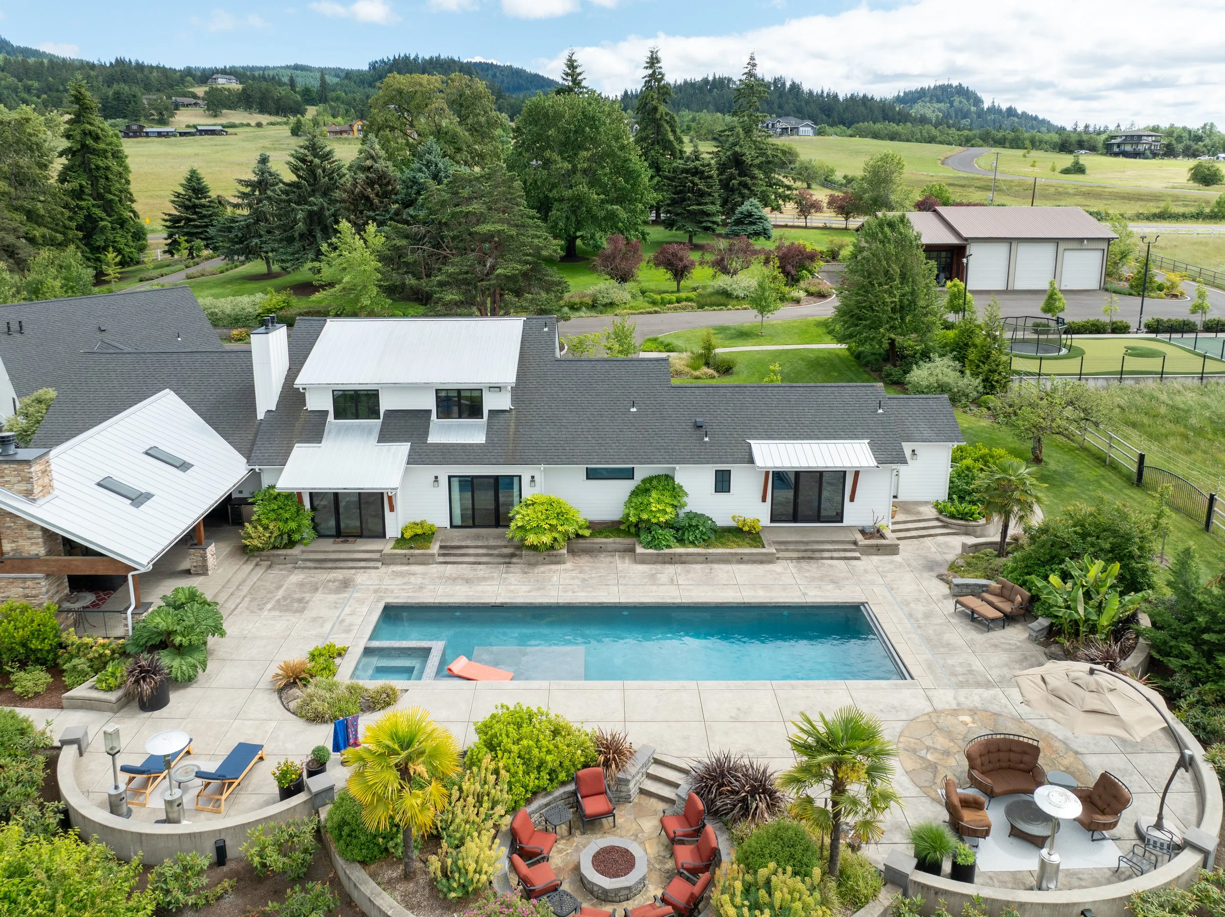
If most of the land is visually consistent and the home, garden, and outdoor areas are easy to understand, professional photography plus package aerial coverage may be enough. A few strong overhead and angled views can establish scale without turning the gallery into a complete land record.
2. Additional structures are simple
An uncomplicated utility shed may only need an exterior reference. A finished guest house or workshop usually deserves more. We make that distinction based on what buyers need to understand, not on a rule that every roof requires a separate sequence.
3. Trees, weather, or airspace limit useful aerial angles
The PNW gives us tall canopy, shifting wind, summer haze, and long stretches of low cloud. Some sites also sit near controlled airspace. We can often work with those conditions, but we will not force an aerial image that adds little information. Ground-level exteriors, a floor plan, or a carefully selected overlay image may explain the property more clearly.
4. The media schedule needs to stay compact
A full acreage plan takes coordination, especially with gates, livestock, tenants, several buildings, or on-site twilight. If the timeline is tight, we can prioritize the primary home and the views that establish the property, then decide whether another format is necessary. A focused plan can still feel complete when every deliverable has a clear job.
The Strategic Question to Ask
“What parts of this property will a buyer struggle to understand without context?”
If the answer is the land, start with aerial and expanded acreage coverage. If it is the relationship between buildings, combine aerial context with dedicated coverage of each important structure. If it is the interior layout, add a floor plan or 3D tour. If it is location, use a restrained overlay or Neighborhood Highlights where appropriate.
This keeps the plan tied to the property rather than a generic checklist. More coverage helps when it answers a real question. When it does not, a clean photography set with a few well-chosen aerials can be the stronger, simpler choice.
Final Thoughts
Portland-area acreage properties ask the camera to work at several distances. We need to show the warmth of a kitchen, the route from the house to the shop, the shape of the drive, and the landscape holding everything together. No single image can carry all of that.
The strongest galleries move from close to wide: photography for the home, aerials for the land, and building coverage, floor plans, 3D tours, or overlays where they add clarity.
If you have an acreage listing in the Portland metro or Southwest Washington, we are happy to talk by phone before the shoot. We can match photography, aerials, Extended Acreage Coverage, Site & Location Overlays, Additional Building Coverage, floor plans, and 3D tours to the parts that need the clearest explanation.
